Total Station-Based Machine Control is a precision positioning technology that uses robotic total stations to provide real-time, high-accuracy guidance for heavy equipment such as excavators, dozers, and graders. The system continuously tracks the machine's position and orientation, compares it with the digital design model, and provides the operator with real-time feedback through an in-cab display. This technology eliminates the need for GNSS signals, making it ideal for environments with poor satellite coverage such as deep excavations, tunnels, urban canyons, and areas near tall structures or dense tree cover. Total station machine control delivers millimeter-level accuracy, increased productivity, reduced rework, and significant material savings on complex grading and earthmoving projects.
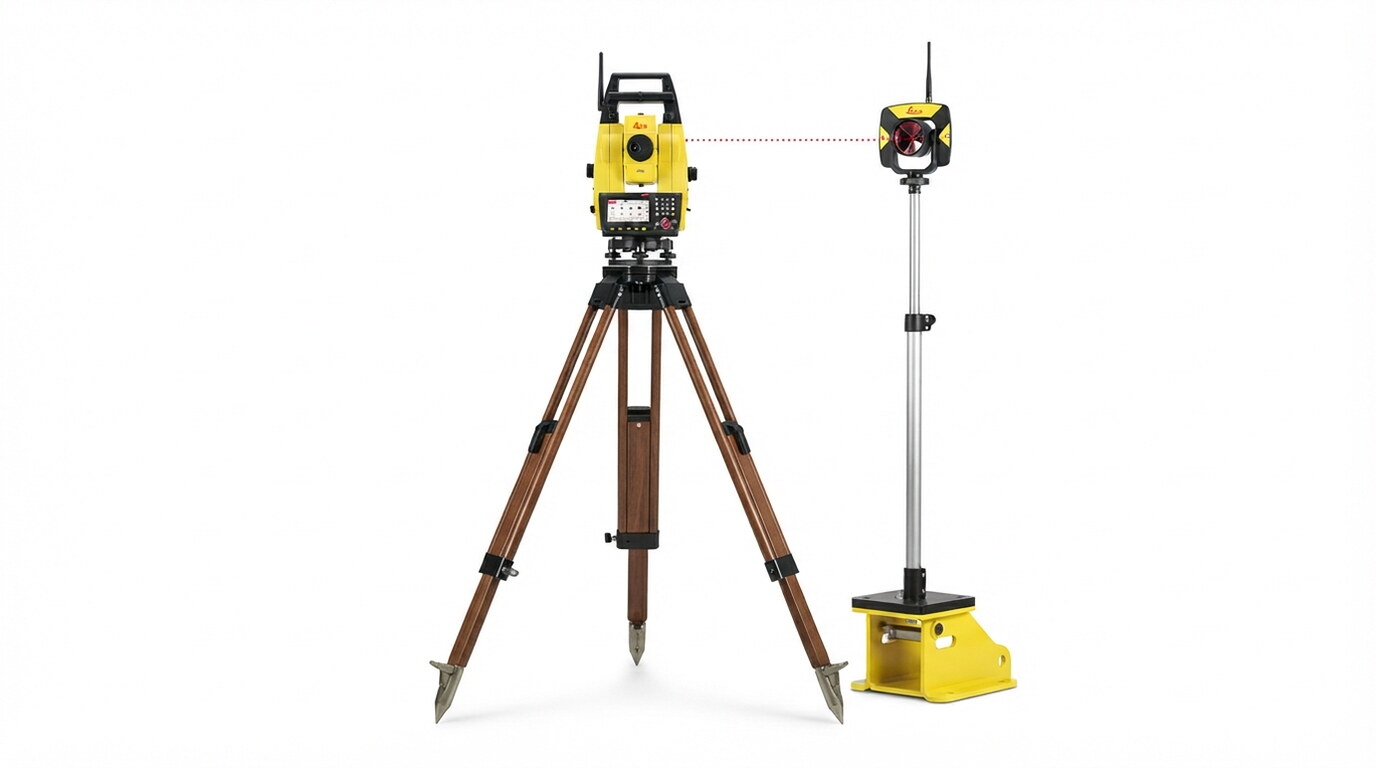
Explore the complete range of specialist applications delivered under Machine Control Systems.
All data acquisition, processing, and charting workflows conform strictly to ISO 9001 quality frameworks, IHO S-44 hydrographic standards, and local municipality guidelines.
Selected engagements demonstrating our capabilities and execution standard
◆ Tabuk, Saudi Arabia • 2026
Leveraging cutting-edge drone-based LiDAR technology, this project delivers ultra-high-resolution topographic data for the AMAALA megaproject, enabling precise 3D terrain modeling and volumetric analysis to support world-class coastal infrastructure and landscape architecture.
View Project Case Study →Our specialized survey crews and engineers are ready to deploy.
Get a Consultation →

