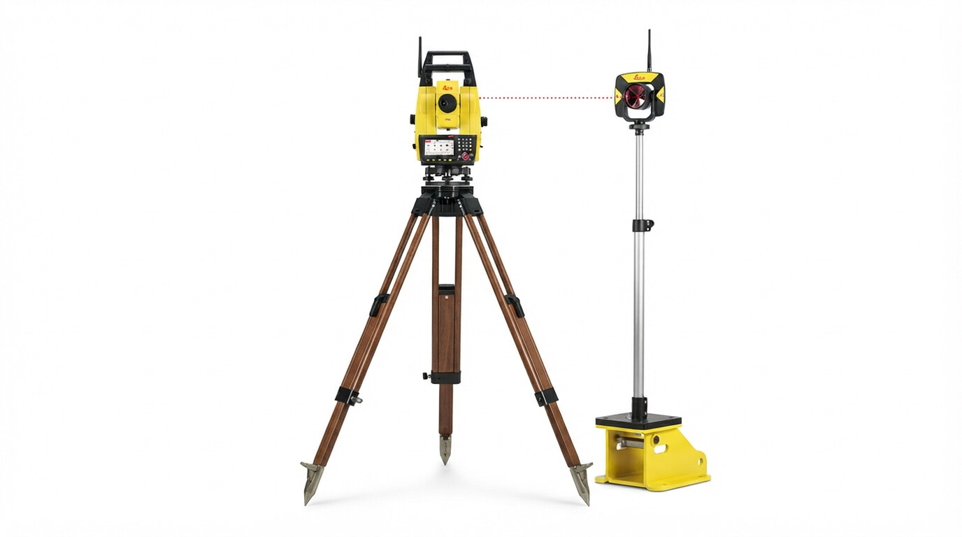
Base Station & RTK Network Setup: Deploying high-precision GNSS base stations and NTRIP correction telemetry to deliver continuous centimeter-level positioning accuracy across project sites. Sensor Integration & Calibration: Installing dual-antenna GNSS receivers, inertial measurement units (IMUs), and hydraulic interface sensors onto earthmoving machinery and marine equipment. In-Cab Visual Telemetry: Streaming 3D digital surface models directly to operator displays, offering instant visual guidance for cut/fill limits and alignment control. Remote As-Built QA/QC Verification: Capturing live bucket, blade, or tool position data during execution to remotely audit earthwork progress, verify grade tolerances, and reduce manual surveying stakeouts.

Explore the complete range of specialist applications delivered under Machine Control Systems.
All data acquisition, processing, and charting workflows conform strictly to ISO 9001 quality frameworks, IHO S-44 hydrographic standards, and local municipality guidelines.
Selected engagements demonstrating our capabilities and execution standard
◆ Tabuk, Saudi Arabia • 2026
Leveraging cutting-edge drone-based LiDAR technology, this project delivers ultra-high-resolution topographic data for the AMAALA megaproject, enabling precise 3D terrain modeling and volumetric analysis to support world-class coastal infrastructure and landscape architecture.
View Project Case Study →Our specialized survey crews and engineers are ready to deploy.
Get a Consultation →