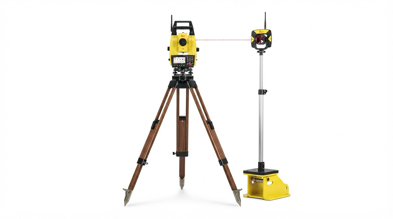
GNSS & Total Station System Integration: Equipping excavators, dozers, and motor graders with high-precision dual-GNSS receivers, tilt sensors, and robotic total station targets. Digital Terrain Model (DTM) Preparation: Converting complex 3D engineering design files into machine-readable surface models for real-time in-cab navigation. Real-Time Earthworks Optimization: Enabling operators to reach design elevations faster, eliminating over-excavation, reducing survey stakeout delays, and optimizing fuel consumption. As-Built Tracking & Grade QA/QC: Logging live bucket and blade elevation data to provide project managers with continuous progress monitoring and grade compliance verification.

Explore the complete range of specialist applications delivered under Machine Control Systems.
All data acquisition, processing, and charting workflows conform strictly to ISO 9001 quality frameworks, IHO S-44 hydrographic standards, and local municipality guidelines.
Selected engagements demonstrating our capabilities and execution standard
◆ Tabuk, Saudi Arabia • 2026
Leveraging cutting-edge drone-based LiDAR technology, this project delivers ultra-high-resolution topographic data for the AMAALA megaproject, enabling precise 3D terrain modeling and volumetric analysis to support world-class coastal infrastructure and landscape architecture.
View Project Case Study →Our specialized survey crews and engineers are ready to deploy.
Get a Consultation →