Home  ›  Services  ›  Hydrographic Survey USV
SPECIALIZED ENGINEERING SERVICE

Hydrographic Survey USV

Autonomous unmanned surface vessel bathymetry.

Hydrographic Survey USV
DETAILED DESCRIPTION

Overview & Capabilities

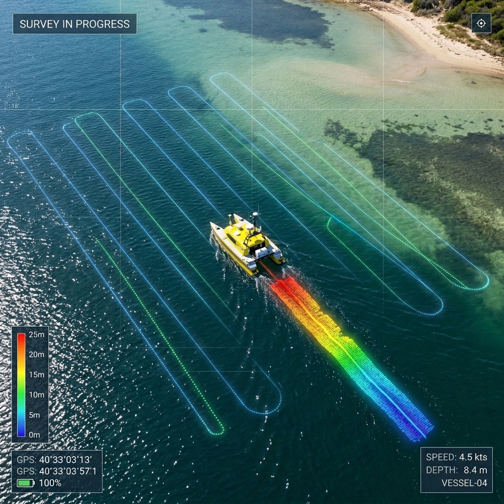
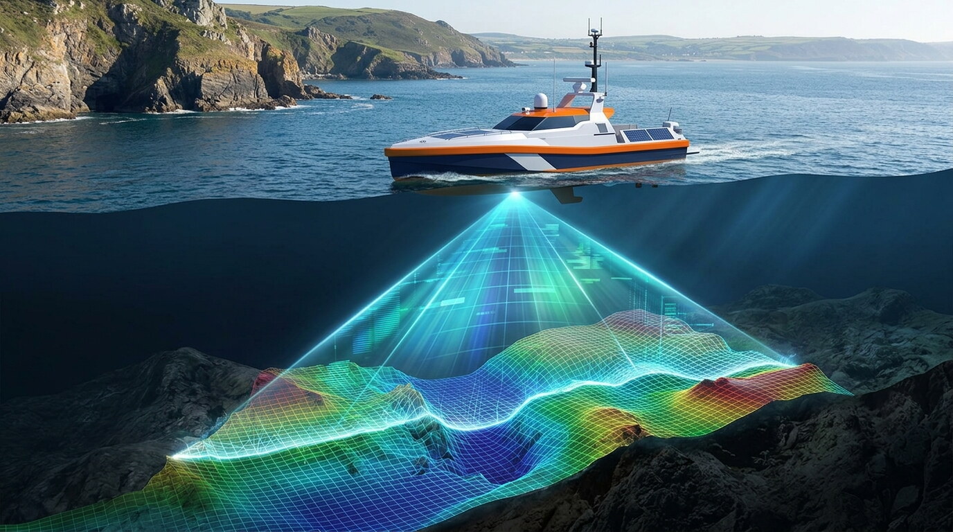
Autonomous single and multibeam bathymetry, shallow-water mapping, ADCP flow measurement, and environmental monitoring.
EQUIPMENT & SOFTWARE

Technology & Tools Employed

We deploy industry-leading hardware and software systems to ensure maximum accuracy and operational speed:

Autonomous Single Beam Bathymetry
Autonomous Multibeam Bathymetry
Shallow-Water & Hazardous Area Mapping
Remote ADCP Flow & Discharge Measurement
Reservoir & Lake Sedimentation Survey
Water Quality & Environmental Monitoring
Real-Time Data Telemetry & Viewing
Port & Harbour Survey Support
QUALITY ASSURANCE

Standards & Compliance

All data acquisition, processing, and charting workflows conform strictly to ISO 9001 quality frameworks, IHO S-44 hydrographic standards, and local municipality guidelines.

PROVEN TRACK RECORD

Completed Projects Related to This Service

Selected engagements demonstrating our capabilities and execution standard

Project

Seamless Topo-Bathymetric Mapping for Coastal Infrastructure at Shoaiba

Jeddah, Saudi Arabia • 2026

...

View Project Case Study

Have a Project Requiring Hydrographic Survey USV?

Our specialized survey crews and engineers are ready to deploy.

Get a Consultation