Home  ›  Services  ›  Marine & Offshore Positioning Services
SPECIALIZED ENGINEERING SERVICE

Marine & Offshore Positioning Services

High-Precision Real-Time Navigation, Asset Tracking, and Vessel Positioning for Offshore Operations

Marine & Offshore Positioning Services
DETAILED DESCRIPTION

Overview & Capabilities

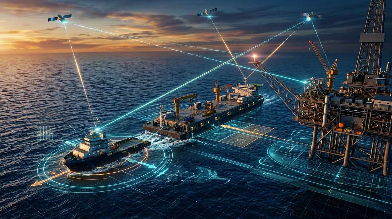
Vessel & Barge Positioning: Delivering real-time high-accuracy positioning and orientation control for survey vessels, construction barges, lay barges, and jack-up rigs.

Subsea Asset & ROV Tracking: Utilizing acoustic positioning systems to track subsea equipment, remotely operated vehicles, and underwater structure placement with pinpoint precision.

Anchor Handling & Tug Management: Providing real-time telemetry and navigation guidance for anchor handling tugs during barge mooring and offshore platform operations.

High-Precision GNSS Positioning: Deploying multi-constellation RTK and DGNSS setups to establish rigid spatial reference controls for coastal and offshore engineering activities.

Pipe & Cable Lay Guidance: Real-time track alignment, touchdown monitoring, and position verification for subsea pipeline, umbilical, and power cable installations.
TECHNICAL OUTPUTS

Key Deliverables

Real-Time Kinematic (RTK) GNSS Positioning
Static & Rapid Static GNSS Surveys
Post-Processed Kinematic (PPK) Solutions
Geodetic Control Network Establishment
Vessel & Barge Positioning (Marine)
Offshore Platform Positioning
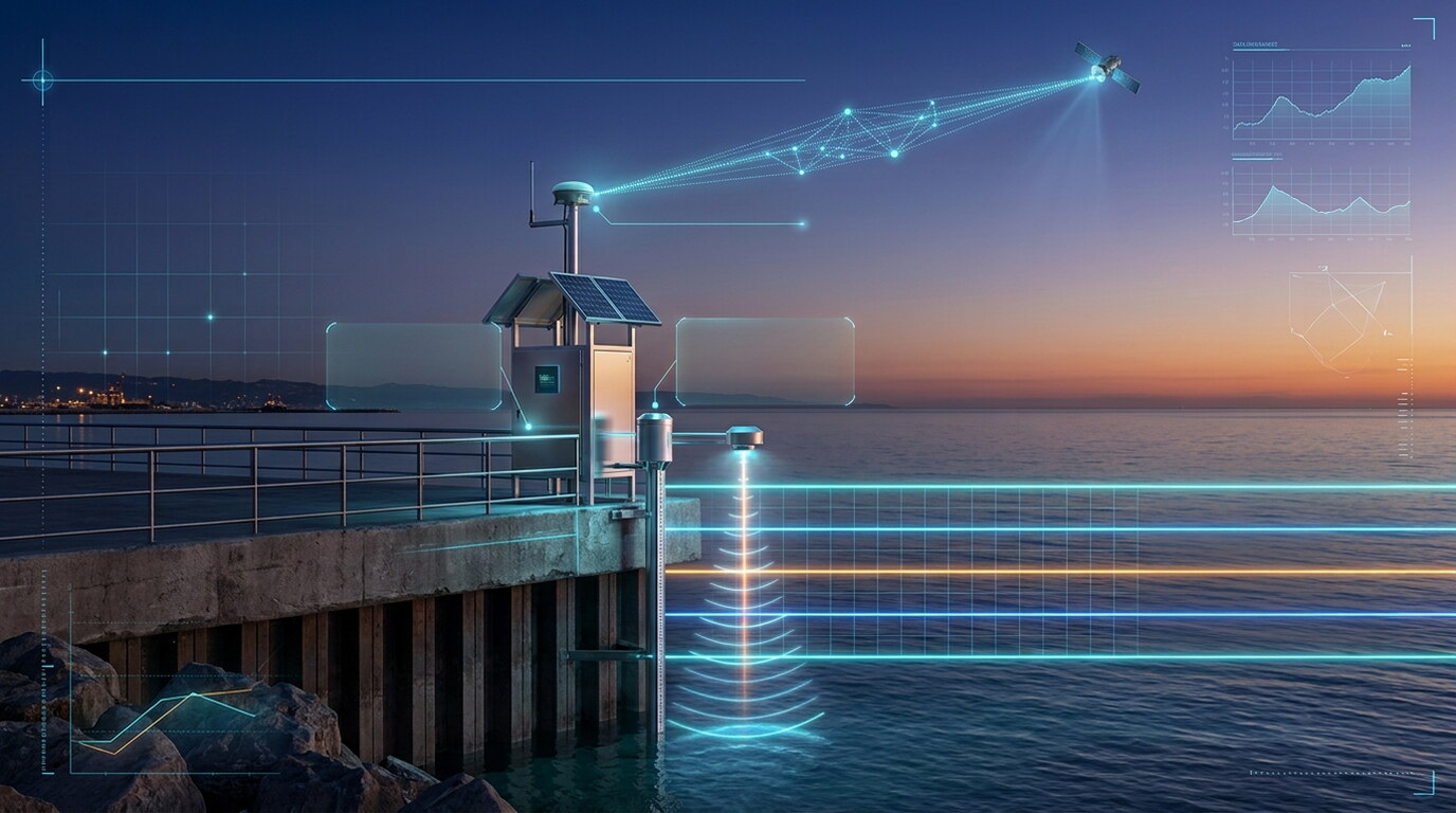
Tide Gauge & Water Level Positioning
Precise Point Positioning (PPP) Services
QUALITY ASSURANCE

Standards & Compliance

All data acquisition, processing, and charting workflows conform strictly to ISO 9001 quality frameworks, IHO S-44 hydrographic standards, and local municipality guidelines.

PROVEN TRACK RECORD

Completed Projects Related to This Service

Selected engagements demonstrating our capabilities and execution standard

Project

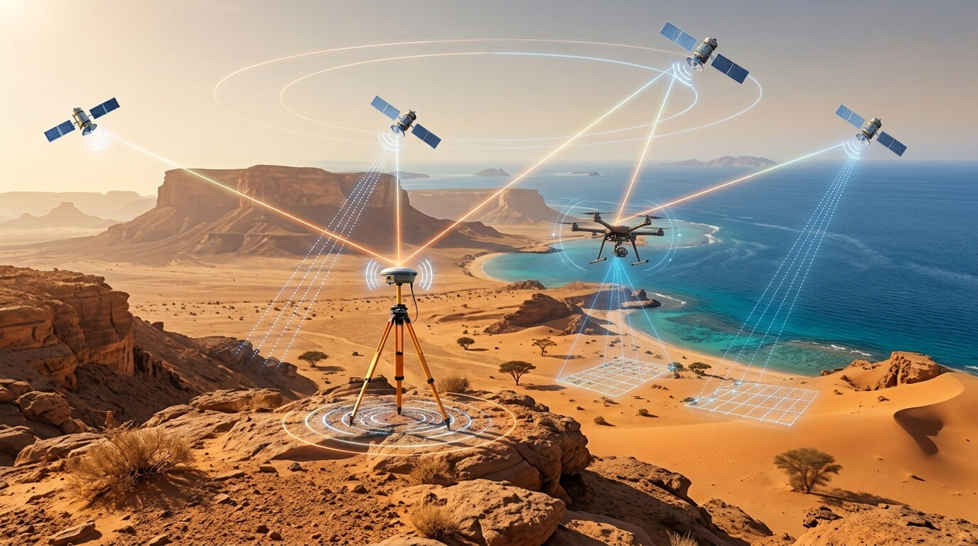
Integrated Aerial LiDAR and Geodetic Surveying for AMAALA’s Red Sea Frontier

Tabuk, Saudi Arabia • 2026

Leveraging cutting-edge drone-based LiDAR technology, this project delivers ultra-high-resolution topographic data for the AMAALA megaproject, enabling precise 3D terrain modeling and volumetric analysis to support world-class coastal infrastructure and landscape architecture.

View Project Case Study
Project

Seamless Topo-Bathymetric Mapping for Coastal Infrastructure at Shoaiba

Jeddah, Saudi Arabia • 2026

...

View Project Case Study

Have a Project Requiring Marine & Offshore Positioning Services?

Our specialized survey crews and engineers are ready to deploy.

Get a Consultation