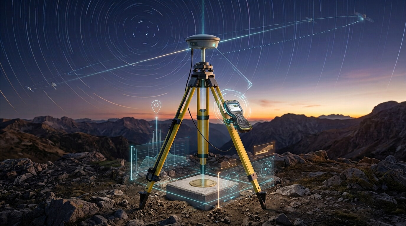
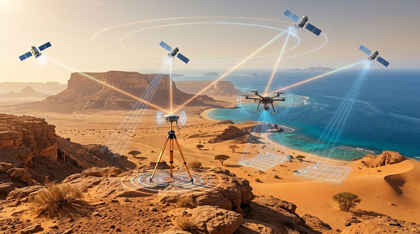
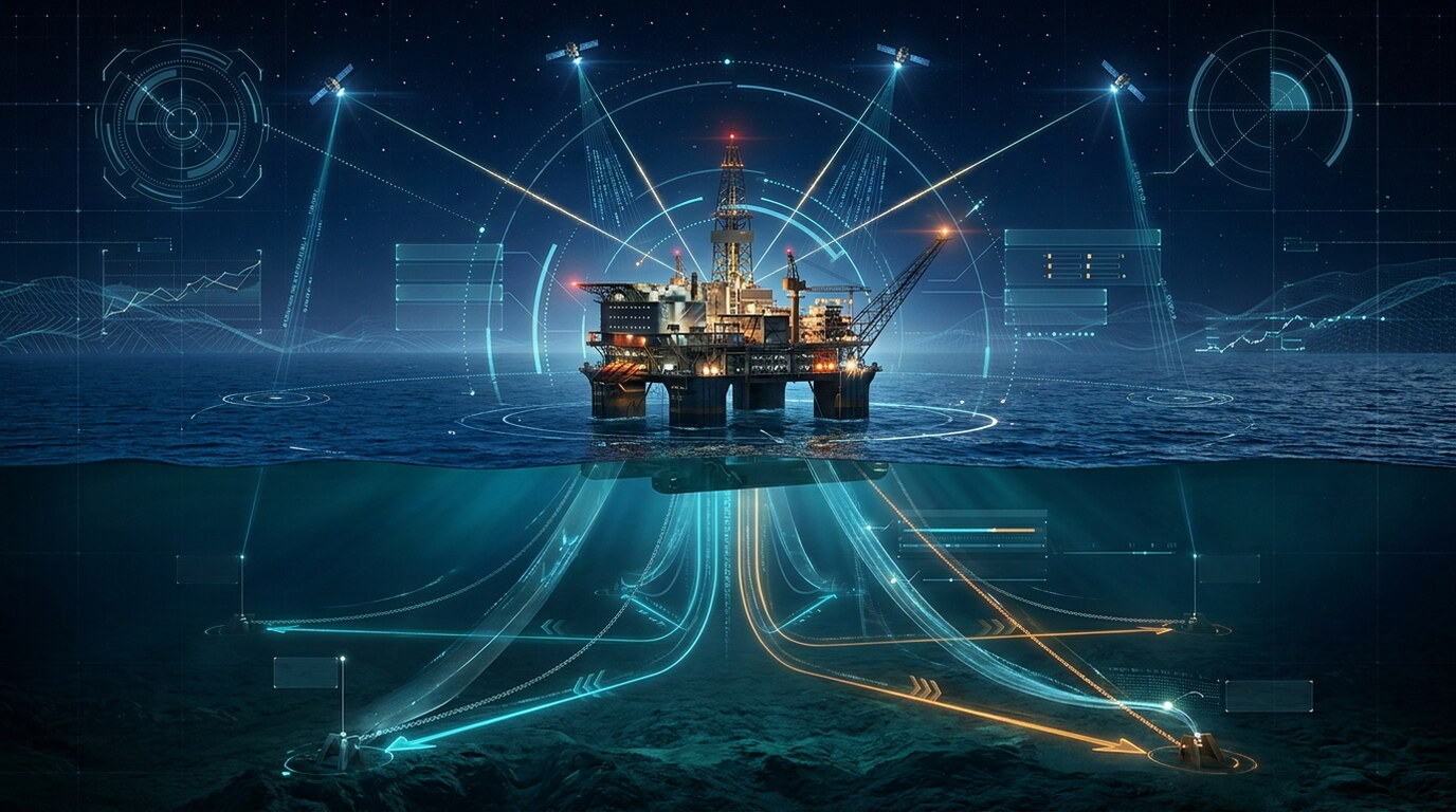
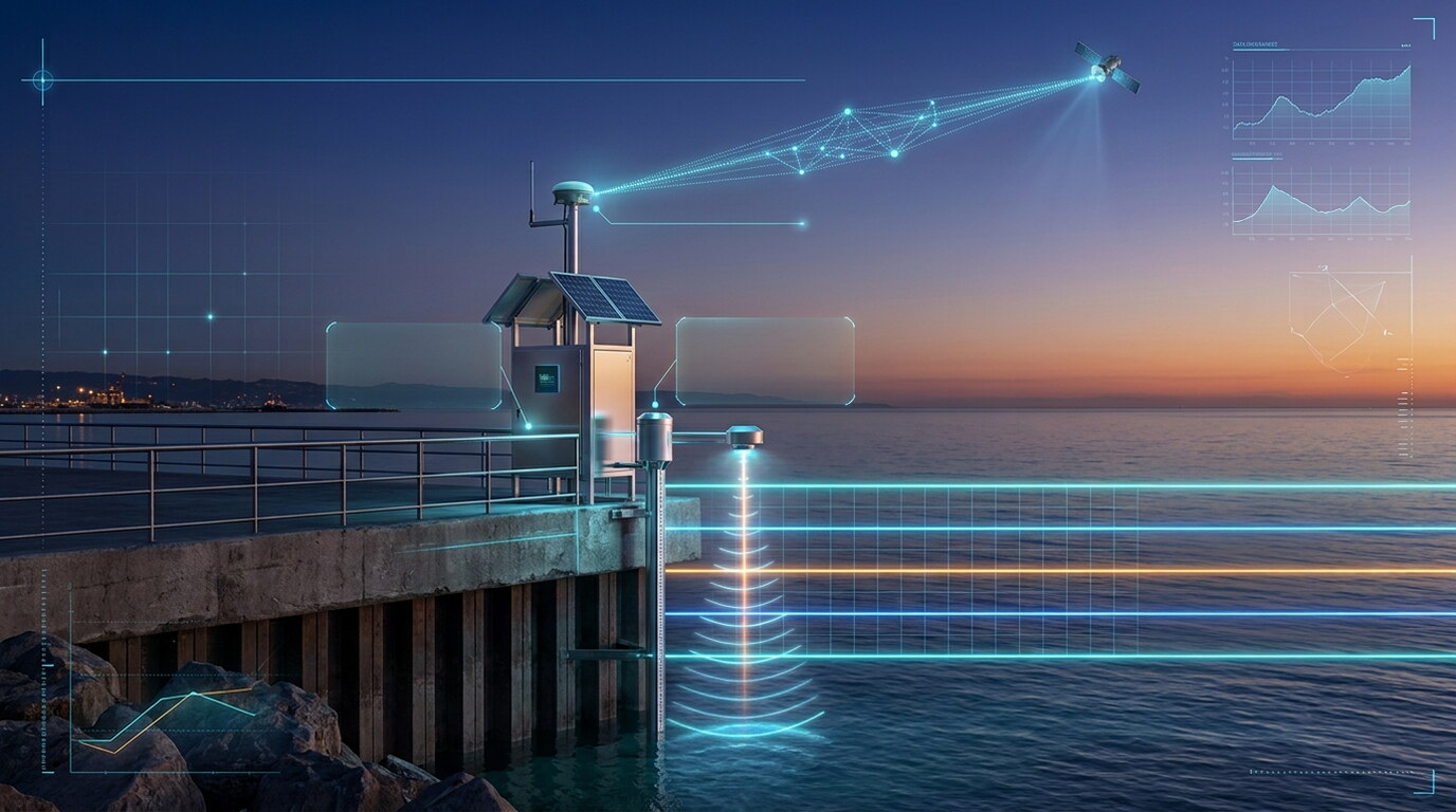
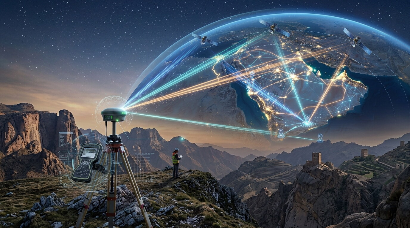
Centimetre-level accuracy — in real time. GeoMak Marine's RTK GNSS positioning delivers instant, high-precision location data across thousands of survey points, enabling millimetre-to-centimetre accuracy even in the most demanding offshore and coastal environments. What we deliver: Real-time positioning accurate to centimetres Thousands of points corrected per second Reliable performance across vast offshore distances Instant RTK corrections for survey, dredging & construction Seamless integration with marine survey and 3D workflows From shoreline to seabed, RTK GNSS positioning gives you the precision to measure, navigate, and build with total confidence.
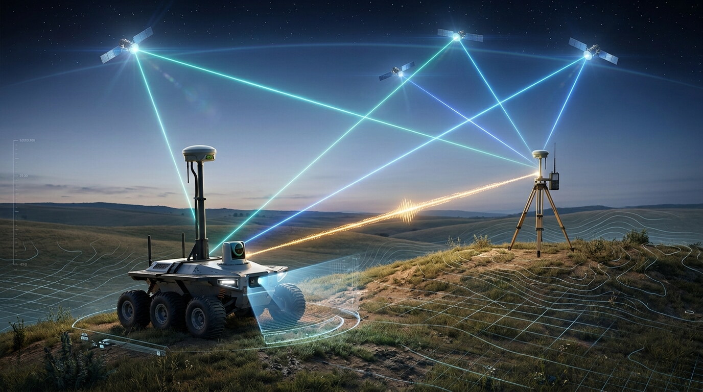
Explore the complete range of specialist applications delivered under Marine & Offshore Positioning Services.
All data acquisition, processing, and charting workflows conform strictly to ISO 9001 quality frameworks, IHO S-44 hydrographic standards, and local municipality guidelines.
Selected engagements demonstrating our capabilities and execution standard
◆ Tabuk, Saudi Arabia • 2026
Leveraging cutting-edge drone-based LiDAR technology, this project delivers ultra-high-resolution topographic data for the AMAALA megaproject, enabling precise 3D terrain modeling and volumetric analysis to support world-class coastal infrastructure and landscape architecture.
View Project Case Study →◆ Jeddah, Saudi Arabia • 2026
...
View Project Case Study →Our specialized survey crews and engineers are ready to deploy.
Get a Consultation →