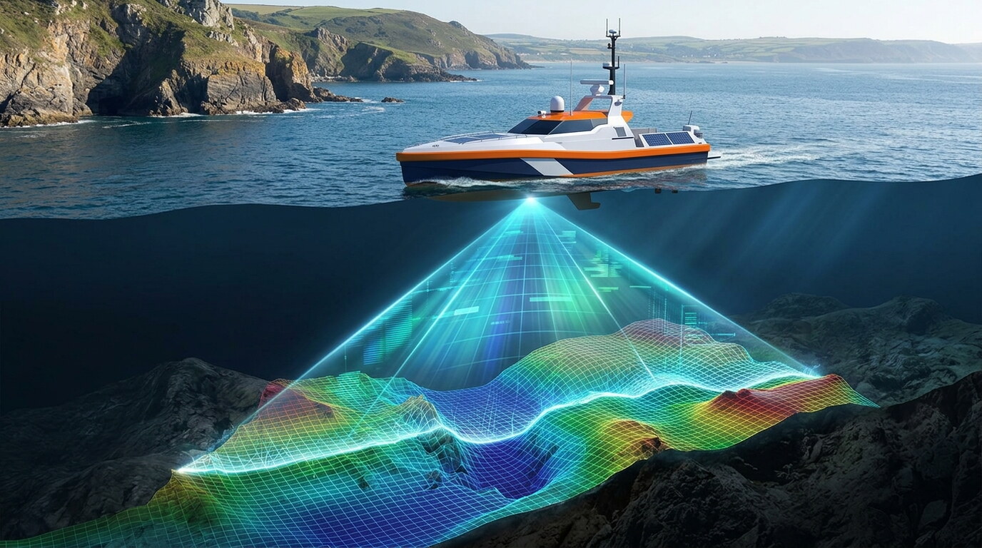
Thousands of depth soundings. Zero crew on the water. GeoMak Marine's autonomous single beam bathymetry captures millions of depth measurements across vast offshore areas — delivering accurate seabed profiles faster, safer, and at a fraction of the cost. What we deliver: Millions of depth soundings collected autonomously Continuous seabed profiling across thousands of kilometres Real-time depth data with centimetre-level resolution Unmanned operation in hazardous or hard-to-reach waters Seamless integration with survey and 3D modelling workflows From shallow coastal zones to deep offshore routes, autonomous single beam bathymetry gives you reliable seabed intelligence — with total confidence.
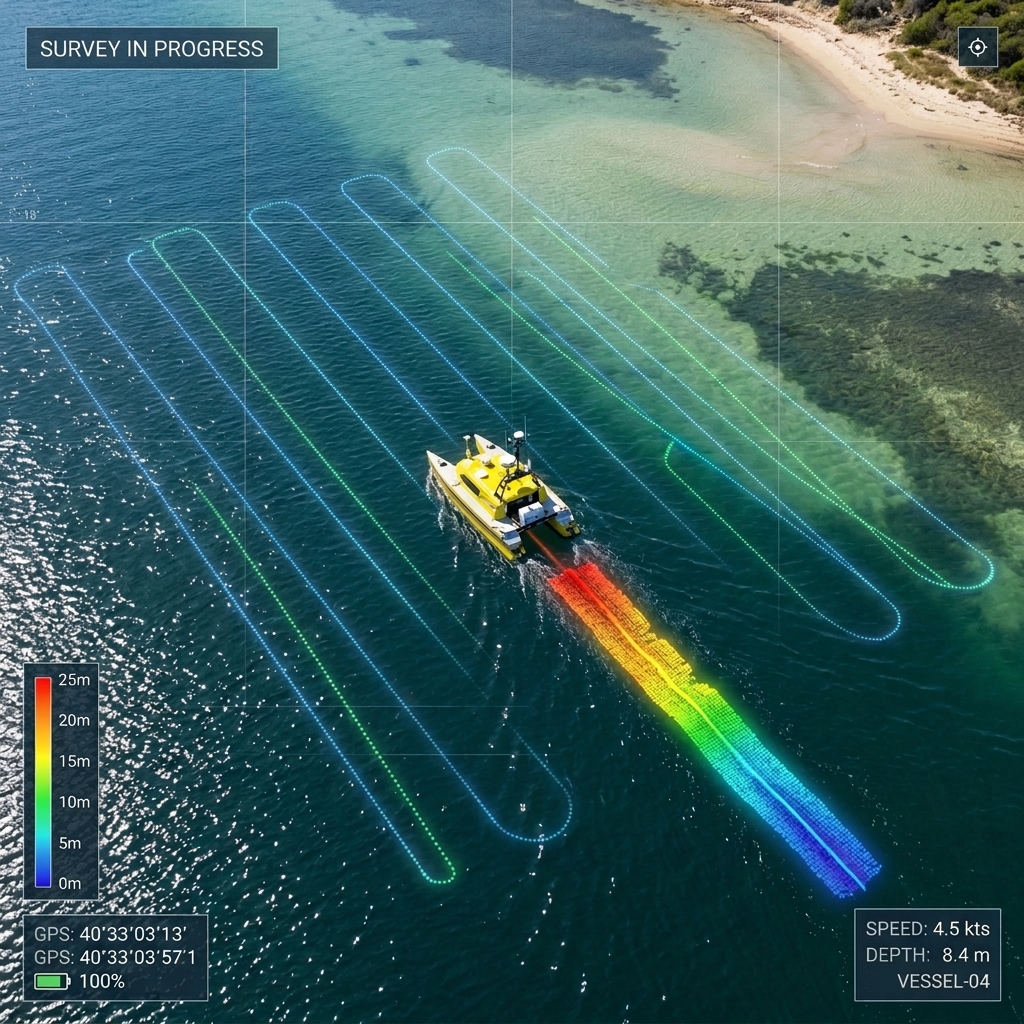
Explore the complete range of specialist applications delivered under Hydrographic Survey USV.
All data acquisition, processing, and charting workflows conform strictly to ISO 9001 quality frameworks, IHO S-44 hydrographic standards, and local municipality guidelines.
Selected engagements demonstrating our capabilities and execution standard
◆ Jeddah, Saudi Arabia • 2026
...
View Project Case Study →Our specialized survey crews and engineers are ready to deploy.
Get a Consultation →