Engineering insights, industry trends, and company news from the GEOMAK team.
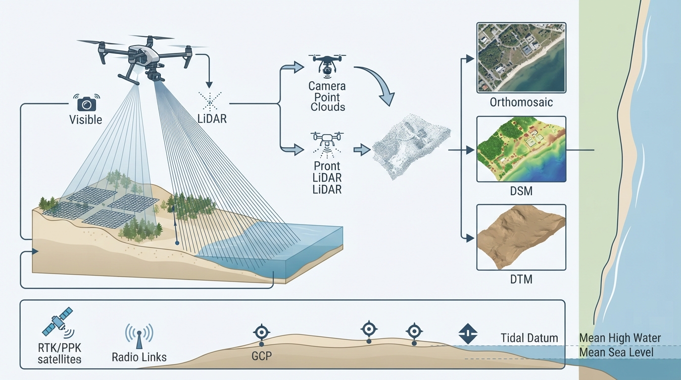
How UAV photogrammetry and LiDAR combine for terrain modelling, vegetation penetration, and shoreline extraction
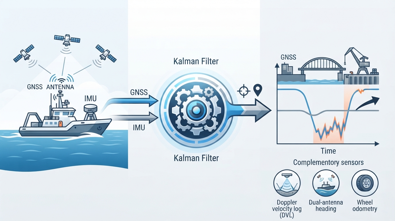
How IMUs, GNSS, and aiding sensors combine to maintain position and orientation during signal outage and dynamic motion