Engineering insights, industry trends, and company news from the GEOMAK team.
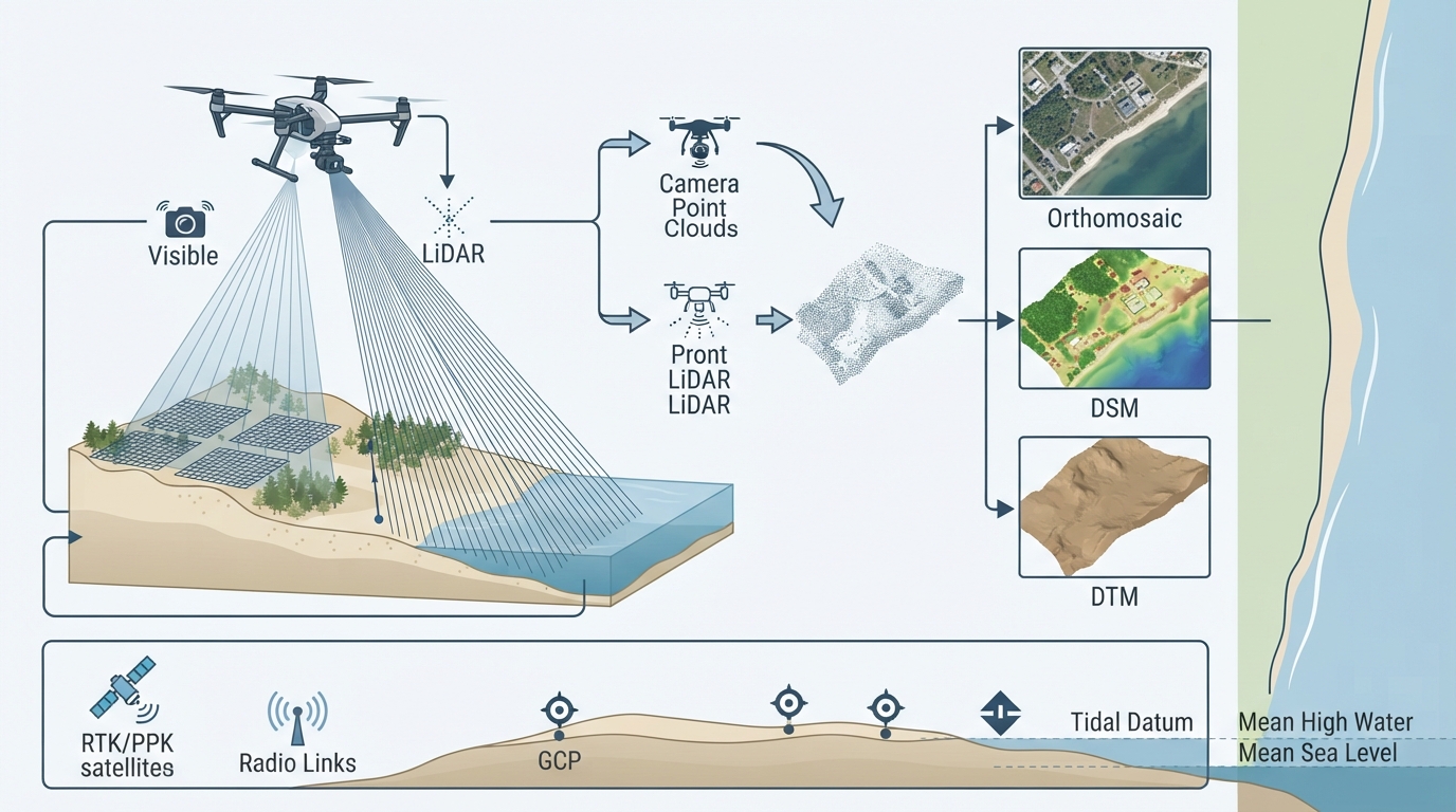
How multispectral satellite imagery & ground-level survey data support shallow-water mapping and long-term shoreline monitoring
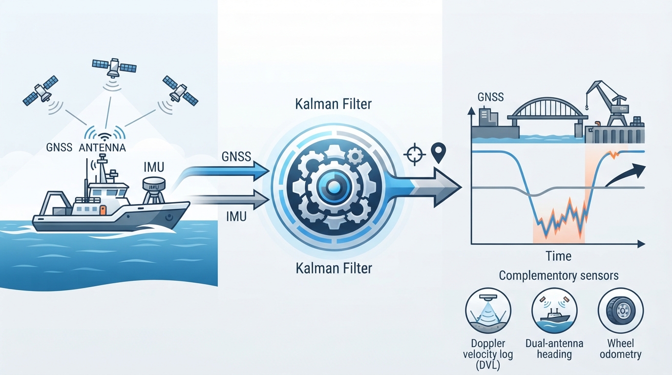
How control point localization, machine calibration, and as-built validation ensure earthworks stay within engineering tolerances
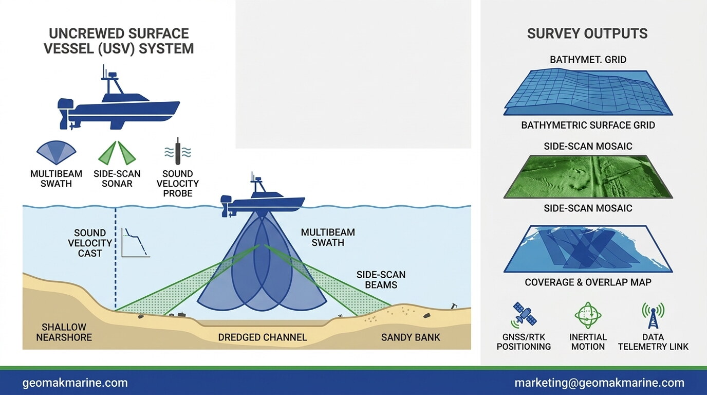
How sound velocity profiles and multibeam echosounder geometry produce reliable bathymetric surfaces